I.02 · Active · 2020 — Present
Bangalore Lake Systems
Urban ecological commons.
- Status
- Active
- Timeline
- 2020 — Present
- Ref
- I.02
Project overview
What this is, and why it exists.
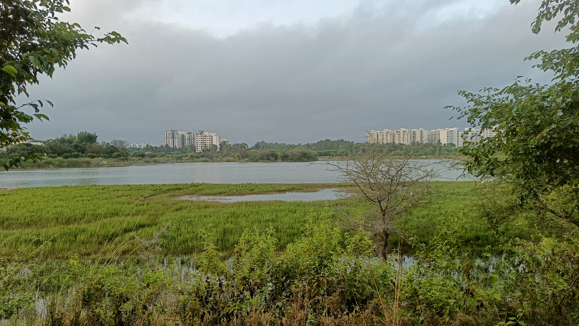
Bengaluru once held more than a thousand interconnected tanks. Today, a fraction remain — fragmented, polluted, encroached, and quietly disappearing.
What does it take for a city to remember the water systems that built it — and to take responsibility for what remains?
This investigation traces the lake networks of Bengaluru across cartography, governance, and lived experience. It moves between archival maps, satellite imagery, walking transects, and conversations with citizens, planners, and lake stewards. The goal is not a single report but a slow, public argument for the lake as commons.
Background
Context, origins, problem space.
Context
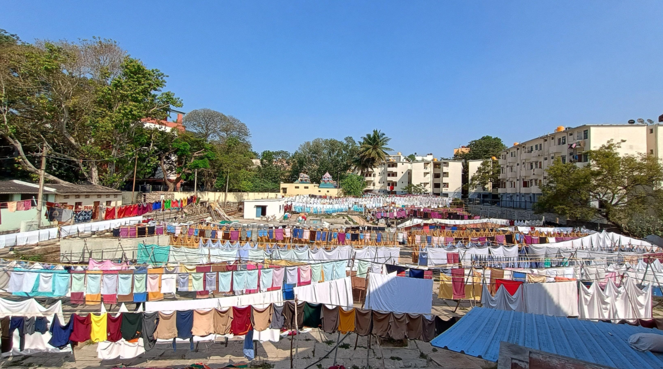
The Bengaluru lake network is a centuries-old chain of human-made tanks, originally engineered for irrigation and water security on the Deccan plateau. Rapid post-liberalisation urbanisation has converted lakebeds into bus stations, layouts, and tech parks.
Research origins
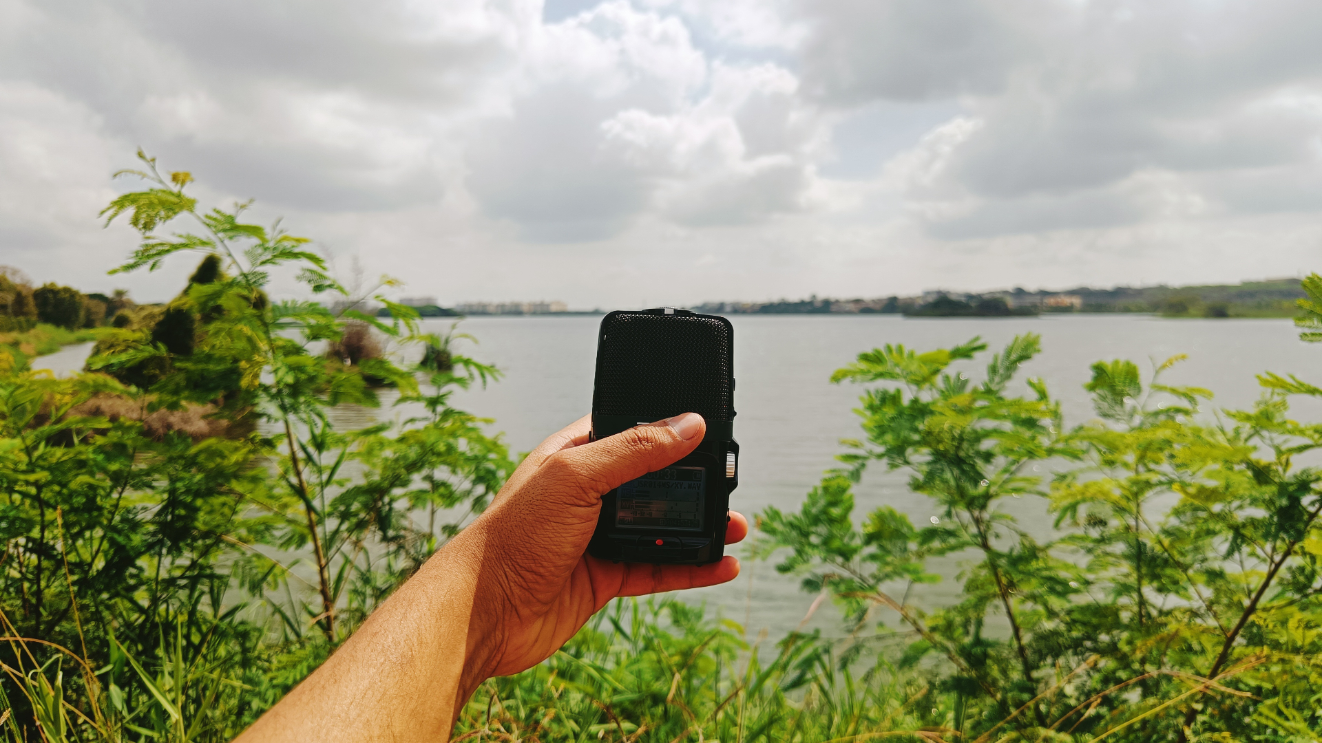
The work began in 2020 as a personal walking practice along Madiwala and Bellandur, expanded into archival research with city historians, and grew into a long-form systems study.
Problem space
Lake loss is not a single event but a pattern — overlapping policy failure, real-estate pressure, sewage infrastructure gaps, and a civic memory that no longer treats water as a shared inheritance.
Methods
The vocabulary of the work.
Methods are chosen to make a system legible to the people inside it. Iceberg models surface the structures beneath visible events; systems diagrams give civic groups a shared image to argue with.
Research
- Iceberg models
- Stakeholder mapping
- Archival cartography
- Walking transects
Design
- Systems diagrams
- Map overlays
- Public visualisations
Documentation
- Field photography
- Long-form writing
- Audio interviews
Process
Timeline, fieldwork, iteration.
The process is intentionally long. Each lake studied is walked at least three times across seasons, mapped against historical survey records, and held against contemporary planning documents.
- 2020.06
First walks — Madiwala
Weekly transects of the Madiwala lakebed; first photo archive.
- 2021.03
Archival turn
Survey of pre-1970 cadastral maps; cross-referenced with current land use.
- 2022.09
Stakeholder workshops
Three workshops with lake stewardship groups across south Bengaluru.
- 2023.11
Iceberg model — Bellandur
Published a systems study tracing the Bellandur foam crisis to upstream sewage policy.
- 2024.07
Liquid Boundaries
Companion research site launched as a public reading and viewing room.
Documentation
Images, field notes, recordings.
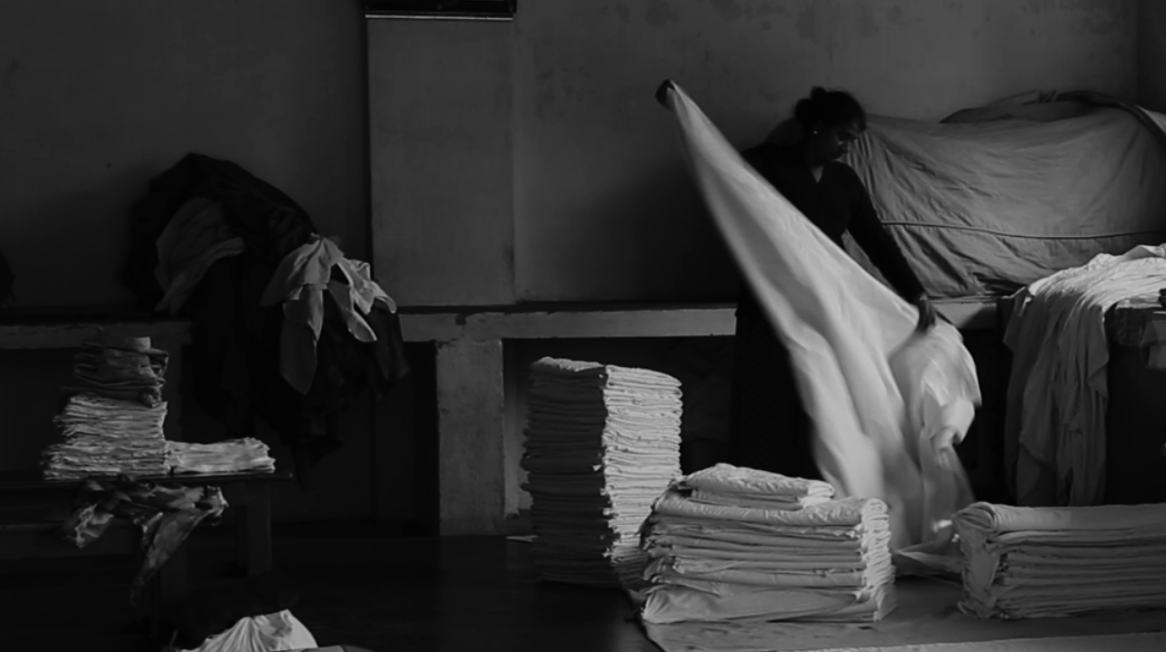
Photographs, drawings, and notes accumulate slowly. The work resists the highlight reel — most images are quiet, overcast, undramatic; the slow violence is the point.
Outputs
What the work produces.
- Research
- EssayWhat a lake remembers
- DiagramBellandur iceberg model — published v2
- WorkshopStewardship cohort 2022 — facilitator notes
Related work
Where this connects.
Investigations
Projects
Fragments
Writings
Teaching
Resources
Downloads, references, further reading.
- PDFBellandur iceberg model — working paper — coming soon
- ReferenceBengaluru cadastral survey, 1962 — coming soon
- Link